Have you ever wobbled across a suspension bridge over a river in Costa Rica? Or have you bathed in thermal water pools, built at the heart of the river? It turns out that until June 2022, all construction on Costa Rican rivers was illegal—unless it had passed through a series of “cumbersome” administrative processes for legal status, according to Federico Cartín Arteaga, founder and director of Rutas Naturbanas.
On June 1, 2022, Costa Rica’s official government newspaper published a long-awaited reform to Forest Law 7575, which protects our rivers and forests. From that moment on, a much broader range of action regarding Costa Rica’s rivers became possible, with the incorporation of Articles 33 bis (Civil infrastructure in urban and rural protection areas) and 33 ter (Recovery and rehabilitation works in protection areas in urban and rural areas). However, entities such as Rutas Naturbanas that are eager for clarity so they can proceed with their projects are still waiting: The Water Directorate of the Ministry of Environment and Energy (MINAE) has yet to draft the regulations, or reglamento, for the reform.
Without that clarity, Rutas Naturbanas has been unable to move forward on various fronts. The project seeks to connect San José’s cantons and neighborhoods of San José through 25 km of riverside paths that, according to the project website, would “connect the city, taking advantage of the axes created by the forgotten Torres and María Aguilar Rivers. This will connect people within the city, but perhaps more importantly, but with our urban rivers and their wonderful ecosystems.”
Federico says that rivers are “excellent barometers” that measure our successes and failings, far beyond clean water and biodiversity. The health of the rivers reflects the health of our road infrastructure, garbage collection, access to housing, and the cohesion of our communities. The river shows us the impact of the things we are doing wrong.
El Colectivo 506 spoke with Federico the future of Rutas Naturbanas and Costa Rica’s urban rivers. Excerpts follow.
In a city with so many challenges, why is it urgent to intervene these 25 km along urban rivers?
For many reasons. First, the shape of our mobility infrastructure [in San José] is for people who don’t necessarily live in it. The roads are designed so that people who do not live here can pass through to go somewhere else, not designed for people who live within the city: if you live in Barrio Luján and want to go to Barrio México, there’s no clear way to do it. So it’s about starting to give intra-mobility to an area where people live, work, play, study.
On the other hand, Costa Rica has a huge debt to its urban rivers. We have the most polluted river basin in all of Central America, the Río Grande de Tárcoles—and our rivers, primarily in the Central Valley, are contributing to this result. Until we manage, understand, and appreciate urban rivers in a different way—until we understand and value them for all their ecosystem services, instead of seeing them as a source of water and a sewer—that will not change. We have a massive responsibility to the well-being of the river, the quality of the water, and the environment.
[It is also urgent] to offer carbon-free mobility routes. Imagine people traveling [along the river] to get from one point to another for work or study, or for leisure on the river itself. A Costa Rican should not have to travel two hours to a national park, with the investment that this represents, when we could have a network of national parks around our own city, in our own backyard. Our city should showcase that green landscape in our daily lives.
When we reinterpret spaces in more economically depressed areas, we can generate a flow of visitors. Neighboring properties… can eventually house higher densities of people who enjoy green space, and commercial flows. Small cafeterias or restaurants appear, or yoga studios, or butterfly farms, around the river basins. This can bring significant value to many communities that today are very depressed and lack access to many services, as well as to employment.
Imagine doing ecotourism in San José!“I did a bungee jump off some bridge in San José and ended up biking for 20 kilometers. And I went to have lunch in Barrio México, or in Hatillo. I went out near Parque La Paz Park and ended up flying a kite.” An urban tourism sector would be so interesting for a country like Costa Rica, which is known for ecotourism, but is not known for its cities.
What is the status of Rutas Naturbanas, and the current challenges?
Routes Naturbanas has many active fronts right now, but we are a little behind.
It’s been about a year and a half since the Forestry Law was reformed. That initiative sought to bring clarity to the National System of Conservation Areas (SINAC), to the Water Directorate of MINAE, and to SETENA, regarding infrastructure that may or may not be incorporated into these bodies of water and on the banks of rivers, and above the water.
Until the reform, the law did not clarify whether or not all of this could be done. But once we passed the law, it remained in the hands of the MINAE Water Directorate to make the corresponding regulations.
Without that regulation, many of the Rutas in the areas where we have to enter the retiro [protected area of the] river cannot occur. So, that’s what has us worried. It’s been a year since this law was passed, but without the regulation none of the projects can advance…We need this government to show that “se coma la bronca,” as the President says, at least on this topic—and make the regulations.
What are the components of the project that are on standby until the regulations are drafted?
The Escazú routes. We want to make the announcement that we not only have the master plan, but also the financial commitments of some of the companies that are going to sponsor it. The design for two other segments is underway, in Montes de Oca and Goicoechea and another in Hatillo. We also recently announced, in conjunction with the Business Alliance for Development (AED), that at the beginning of the rainy season we are going to start a tree planting process in Hatillo Dos.
And of course, there are kilometers that already have investors in La Uruca between the Hotel San José Palacio and the Núcleo Sabana.
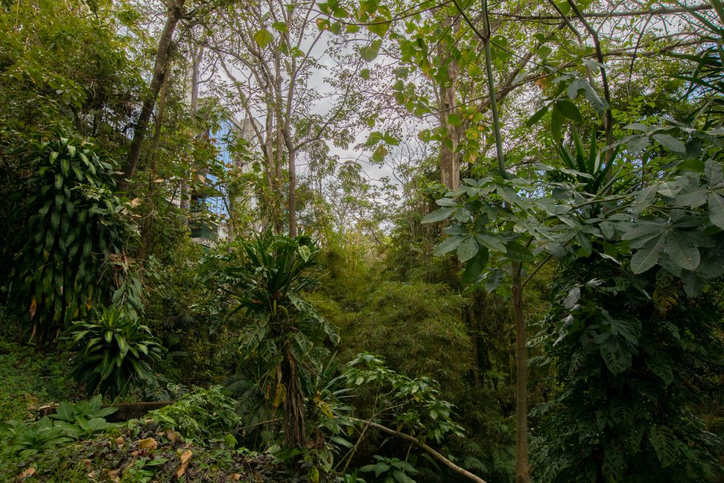
So, the half kilometer already built in Barrio Tournón in the center of San José, which opened in January 2020—how was that achieved?
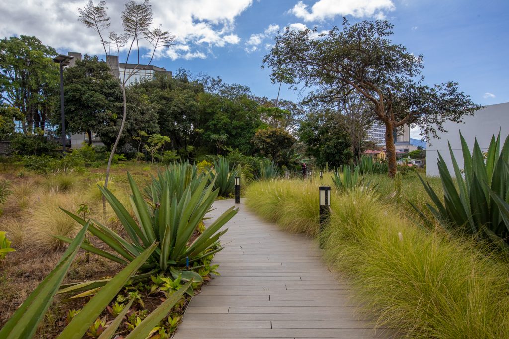
It was built outside the protected zone, because the way the project was planned, there was a piece [of land] that [the Central Bank of Costa Rica] did not need and that was not really useful for them. We were able to build on one in the buildable zones of that land.
When you started with this project in 2016, were you more or less clear about how long it might take to achieve, or have your expectations changed over time?
I always thought that the project could be done in five years. Five kilometers per year is not particularly ambitious because it is a relatively simple infrastructure. We are not talking about the northern section of Circunvalación! But [the delay] ultimately comes down to two big things: political will, and budget. And the budget rises and falls on that political will.
If the central or municipal governments made this a priority, they would find the funds.
Our February edition, “Start at the River”, seeks to understand not only the challenges of urban rivers, but also any impact that’s been achieved by designating these spaces as Inter-urban Biological Corridors. What’s your take on the impact of that change?
Even though Rutas Naturbanas didn’t create the Inter-urban Biological Corridors, I believe our project brought about a very important change [for that figure]: before, they were only described from the perspective of the “dirty river.” Some biologists were very concerned about the ecosystem value of the rivers, but the topic was out of reach for the general public. Rutas Naturbanas makes people dream of something. We go beyond, “How terrible! They smell of poop and are full of garbage.” We put rivers in the national imagination as a development opportunity, as a leisure opportunity, as an opportunity for culture and even as a tourism and mobility opportunity.
So, Rutas makes the conversation sexy. We get people to dream together. I think that this accelerates many of the processes of biological corridors: the Pact for María Aguilar, MINAE’s Clean River initiative. Those things didn’t exist before Rutas Nturbanas was within the collective imagination.
I hope that these biological corridors and many of these new initiatives don’t get stuck in the realm of conversation, or river cleanups. It’s no good to just clean the rivers when we’re not directing public investment to addressing the reasons they are polluted. A specific example is the solid waste collection system in cities: plastic bags on the street inevitably have a direct impact on the quality of river cleanliness.
But as long as our rivers are hidden away behind houses and people cannot walk along them or see them as a leisure space, they will not be able to understand what is happening back there. They can’t file a complaint against that neighbor who’s throwing all the trash he couldn’t sell for scrap into the river.
What should those of us who are beginning to be interested in this topic do?
It is [important] to talk to your neighbors about this project and tell them, “Here is an opportunity. Why don’t we push the municipality, tell them that we want to do this here?”
If there are access points to the river, try to find out if they are public land. Link up with your Integral Development Association or neighborhood association, or with the municipal leaders for your district, to get improvements under way.
It’s about figuring out how we can support these small spaces in some way, organizing ourselves in our community to do some planting. If the lands next to the river have those horrible mesh fencing, move it and install a railing that prevents people from falling in but also opens up the land so the community can appropriate it, turn it into a park.
We also have another great advantage: Google Maps. There, we can see all the vacant lots around the river and understand who [the owners] are ,and find out what the opportunities are. We can plan a project or see if there is a park next to a river that we can improve.
We can do a lot from the community. Maybe we can’t always build infrastructure, but we can visualize a better environment for the river. We can build community, safety and a lot of things through simple projects.
